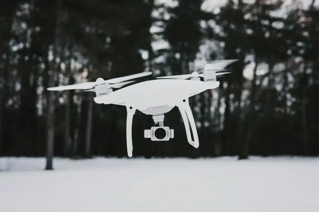
The following guest post about the Phantom 4 Pro for photogrammetry was written by Jon Ellinger, an ASPRS Certified Photogrammetrist and Mapping Scientist in Remote Sensing with over 12 years experience in the aerial mapping industry. He is currently building a team of pilots as the Remote Sensing manager for the West Coast Land Surveying & Remote Sensing firm, S&F Land Services.

If you are interested in contributing to The Drone Girl, contact me here.
What if I were to tell you that your iPhone 7 takes better photos than your new iPhone 11? You would call me crazy. But in the drone world, there’s a piece of technology that was released in the fall of 2016 that does a better job than similar tech in 2020: the DJI Phantom 4 Pro. Pair the Phantom 4 Pro with DJI’s GSPro acquisition software, and — when you compare it to other, similarly-priced options on the market in 2020 for aerial mapping — this 4 year old drone is still the best and most popular option for professionals.
The Phantom 4 Pro was a game changer for aerial photography when it was released in November 2016. It was a quantum leap in combined drone and camera technology that, even today, remains the most sought-after drone for commercial aerial photogrammetric mapping. A 1-inch sensor with variable aperture on a sub $2000 drone with a 4.3 mile range and obstacle avoidance that could also shoot 4K video at 60 frames per second!?!? The Phantom 4 Pro quickly became the gold standard for anyone looking to use an affordable consumer-level UAV to jump into the drone industry to make a buck.


